
Pristina, 12 August 2016
The state commission, with professionalism, based on the laws and Constitution of Kosovo and international agreements, has provided and provides sustainable facts, undeniable and proven in national and international level.
Administrative line between Kosovo and Montenegro for the period 1974-2015 remained unchanged. This administrative line between the border municipalities Junik, Deçani, Peja and Istog in Kosovo and municipalities Plav, Berane and Rozaje in Montenegro were and are received and administered by mayors without any additional requirement.
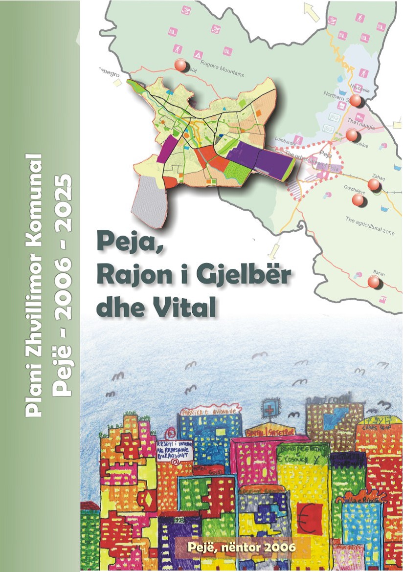
Peja Municipality has prepared local precise development plans financed _ from the Kosovo budget, and with support from the European Union, SIDA, and the American USAID. Each Development Plan, is subject to public review for 60 days, which in the end should be approved or rejected. The following is treated and analyzed municipal-plan-development Pejë 2006-2025 (see the website of the Municipality of Peja, Pejë-municipal development plan 2006-2025.
In this development plan but also in other plans, is shown administrative lines of SAP Kosovo in 1974, also is administrative lines of SAP Kosovo dated 31 December 1988. This administrative line is identical with the border marked by the state commission.
The question arises: who then prevented the mayor, or why the mayor did not claim to other territory and left outside of the development plan Bjelluha, Çakor, and Kulla. For the 2006-2025 Municipal Development Plan (MDP) _ the previous mayor seen in pictures said (quote):
“The projects – such plans are key to the overall development; state institutional culture; national value – human civilization. “The Mayor of Peja decision (01. Number: 350-85 / 2006) to organize Public Review for this project, which was held in the period of 60 days, from April 18 – 19 June 2006. At the time of public review, in this case the development plan was approved and then there was no request from citizens, nor by former Mayor who now opposes and Bjelluha, Kulla and Çakor even then outside the territory of Kosovo.
When MDP was done, there was no Bjelluha, Çakori and Kulla, or perhaps they left to incorporate them in the municipality of Peja after 2025 when the new development plan will be done.
On the cover of the map is seen the development plan of Municipality of Peja which is identical to the administrative line of 1974-1988-2015.
On page 7 of this project are expert photos and maps on the table of the Municipality of Peja which is identical to the administrative line of 1974-1988-2015 and is without Bjelluha, Çakor and Kulla.
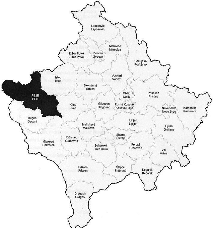
On page 10 of the Municipal Development Plan is map of Kosovo with municipalities, while the Municipality of Peja is seen presented in black. So this map is accurate without changes and with administrative border line that always had the Municipality of Peja, ie without Bjelluha, Çakor and Kulla. The following map is from (MDP page 10)
On page 11 of MDP entitled Profile of the Municipality of Peja says – a brief history, while the subchapter of the same page is: Peja, basic data that says (quote)
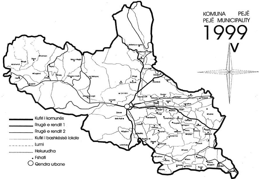
“Peja municipality includes an area of 603 km² and only the city of Peja has a surface area of about 20 km²”. Peja Municipality this area has also now and in the entire period from 1974 to 2015. See the map taken from the Development Plan which is the boundary line of the Municipality of Peja always in all the periods is the same.
In this Municipal Development plan are presented 33 maps of Municipality of Peja with administrative line that is identical to the administrative line of the year 1974 to 1988 and the border of the Republic from 2008 to 2015. This area is always without Bjelluha, Çakor and Kulla.
In this development plan worked many experts of Peja Municipality.
This shows that the State Commission has been working accurately for the border between the Republic of Kosovo and Montenegro and does not leave any square meter outside the territory of the Municipality of Peja, respectively, did not leave any square meter territory of the Republic of Kosovo.